Instant Line of Sight.Zero Guesswork.
Verify point-to-point wireless viability with global SRTM topographic data, straight from your pocket.

0m
Topographic Resolution
0%
Global Coverage
< 0s
Calculation Latency
Our product
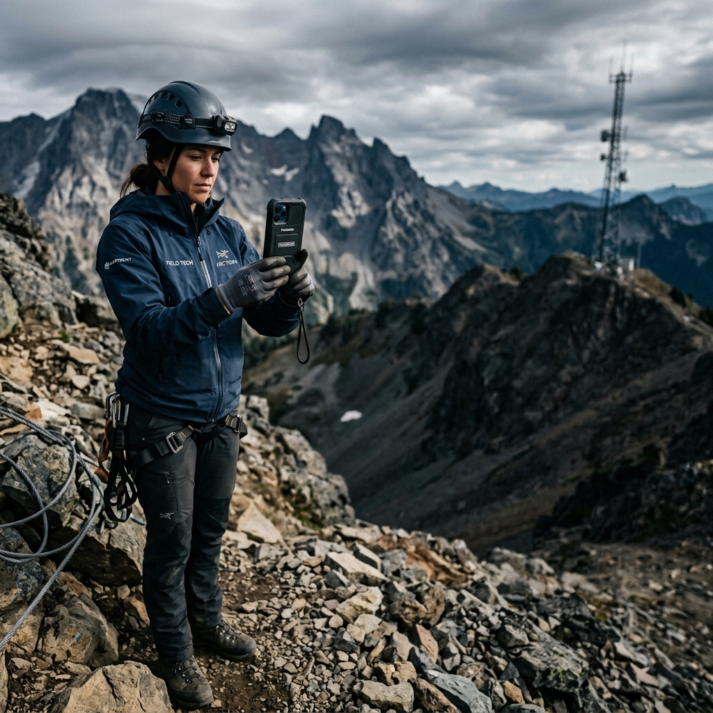
Engineered for the field
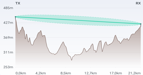
LinkSight removes the guesswork from RF planning. Instantly calculate line of sight, analyze Fresnel zone clearance, and export professional PDF reports directly from your phone.
Your RF Dashboard in your pocket
Calculate point-to-point links instantly, check line of sight, and get the information you need right when you're on the mountain or rooftop.
Built for every RF need
Whether you are deploying enterprise wireless or hobbyist mesh networks, LinkSight provides the precision you need.
WISP Operators
Plan broadband point-to-point microwave links. Calculate tower heights and verify line of sight before sending installation crews to the field.
Meshtastic & LoRa
Design off-grid mesh networks and deploy low-power nodes. Guarantee your signal cuts through the terrain for maximum range.
UAV & Drone Pilots
Ensure telemetry and video link stability for BVLOS (Beyond Visual Line of Sight) flights by checking terrain obstruction beforehand.
RF Engineers
Ultimate flexibility. Input any custom frequency and mast height to analyze specific Fresnel zones for amateur radio or proprietary networks.
Advanced RF Tools
Everything you need to plan, calculate, and document your wireless links from anywhere.
Global Topography
Integrated SRTM90m data for instant elevation maps without relying on heavy desktop software.
Fresnel Intelligence
Precise Fresnel zone clearance calculations across sub-GHz, Wi-Fi, microwave, and custom frequencies (100 MHz – 60 GHz).
Client-Ready PDF Reports
Export complete engineering feasibility studies with elevation profiles, clearance metrics, and company branding in a single tap.
Available Now…
Your RF tool is live.
Download it free.
Precision RF planning, right in your pocket.
Free to start. No credit card needed.

Frequently asked questions
Everything you need to know about LinkSight. Have a question not listed? Contact our support.